Hilo Area
Today, we travel to Hilo on the other side of the island. We chose to take the long route toward the Volcano National Park (2.5-3 hours depending on traffic). On the return, we traveled the Saddle Road which bisects the island and knocks off about 45 minutes. It was a beautiful day, especially since Hilo is the rainiest city in the U.S. and 4th rainiest in the world.
Links to Molokai, Oahu, Big Island,
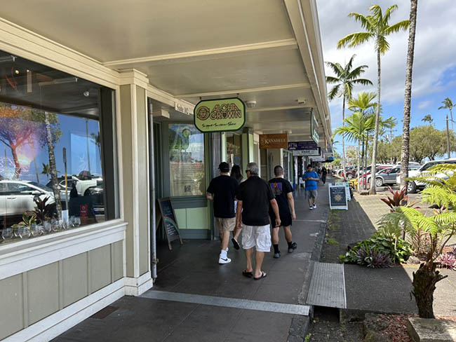
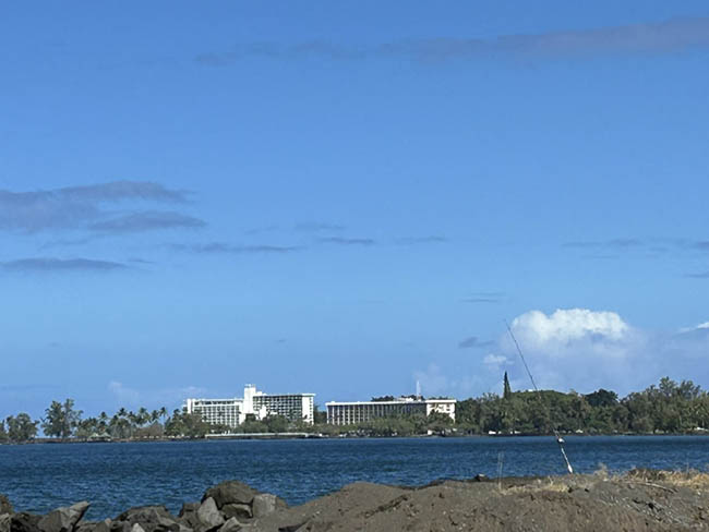
Hilo is funky, unique, and fun to visit. It has a much wetter climate than Kona. Pictured is one of the main streets. The city is built along beautiful Hilo Bay. Look closely at Picture 2, and you will spot a fishing pole ready for the next catch.
Because of its close proximity to the Bay, Hilo must always be on guard for a tsunami. A major one hit in the 1940s devastating the city with its 70 ft. wave.
Hawaiian Botanical Gardens
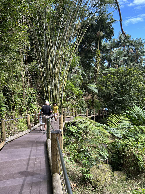
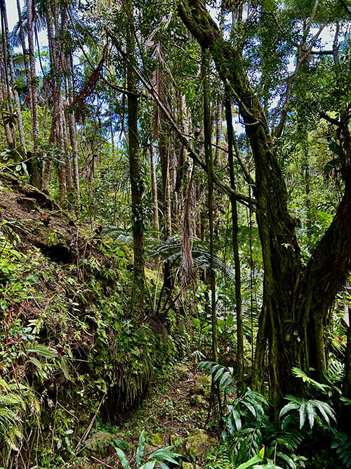
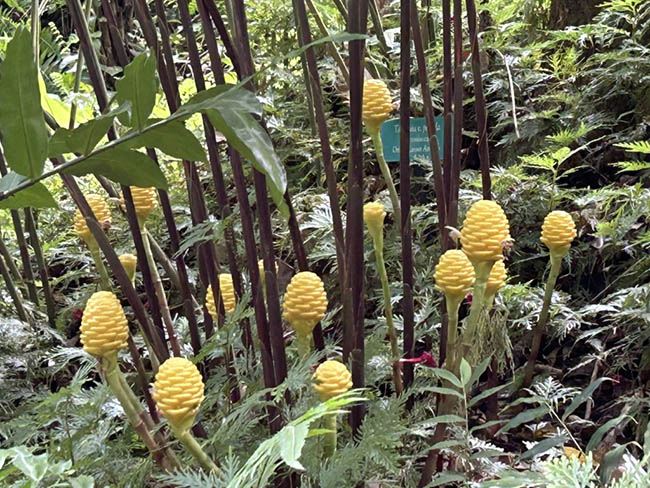
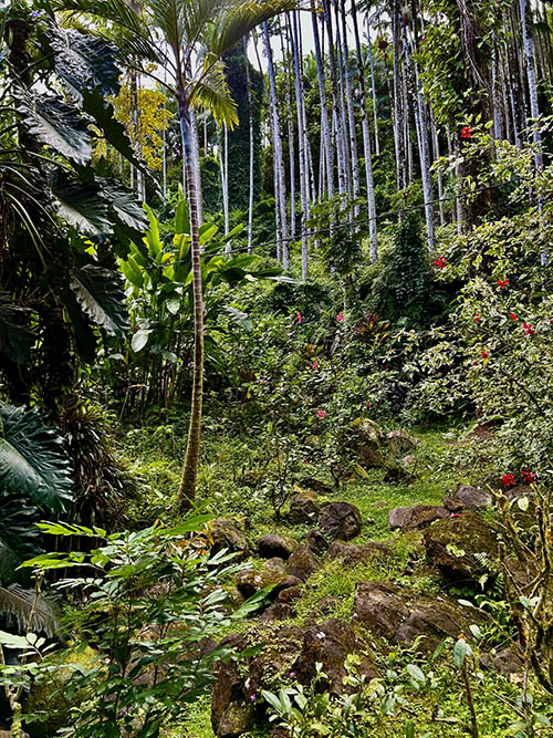
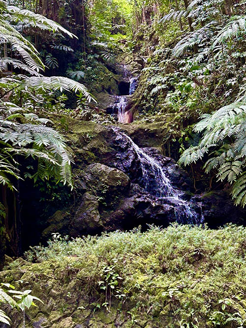
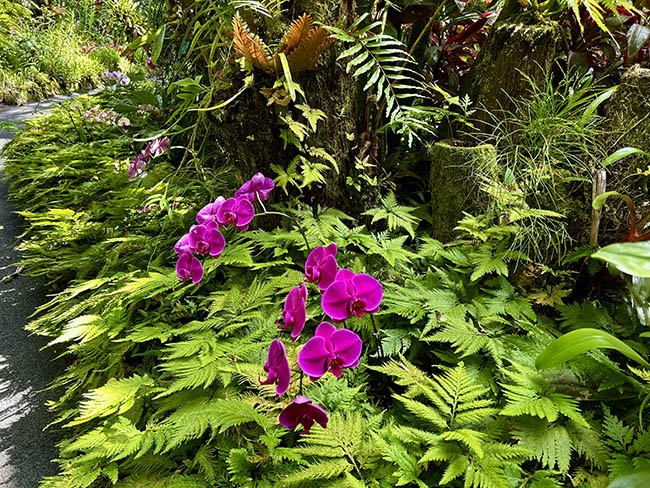
A gorgeous walk of 1.5 miles down and an arduous 1.5 miles up (do not let picture one mislead you). The current entrance fee is $32 per adult. For more information, here is a link. The gardens are about 5 miles outside of Hilo. Despite the strenuous walk, we believe the hike is worth the money spent.
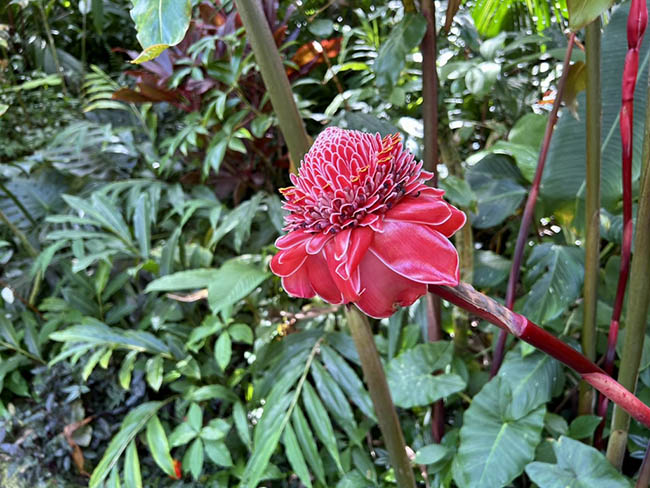
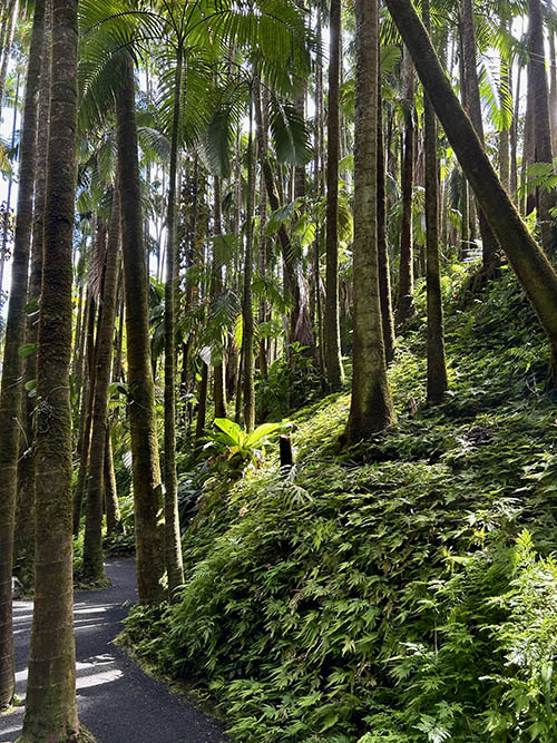
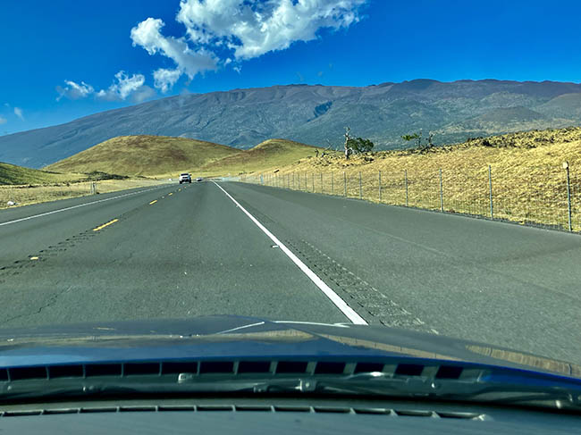
We took the Saddle Road which bisects the island back to Kona. Pictured is Mt. Mauna Kea, the highest volcano on the Big Island. Mt. Mauna Loa (long mountain) and Kilauea (spewing in Hawaiian) are not pictured. They are still active volcanoes. A total of five volcanoes created the island which is the youngest in the Hawaiian chain. About 10 minutes after this picture was taken, we ran into dense fog where we could barely see 100 feet in front of us. Because of elevation, snow and ice can also occur during the winter months.
